POST/DATA PROCESSING
It depends on the camera or sensor and the software you are
using for post-processing. RGB mapping cameras together with
most photogrammetry software can produce the following data:
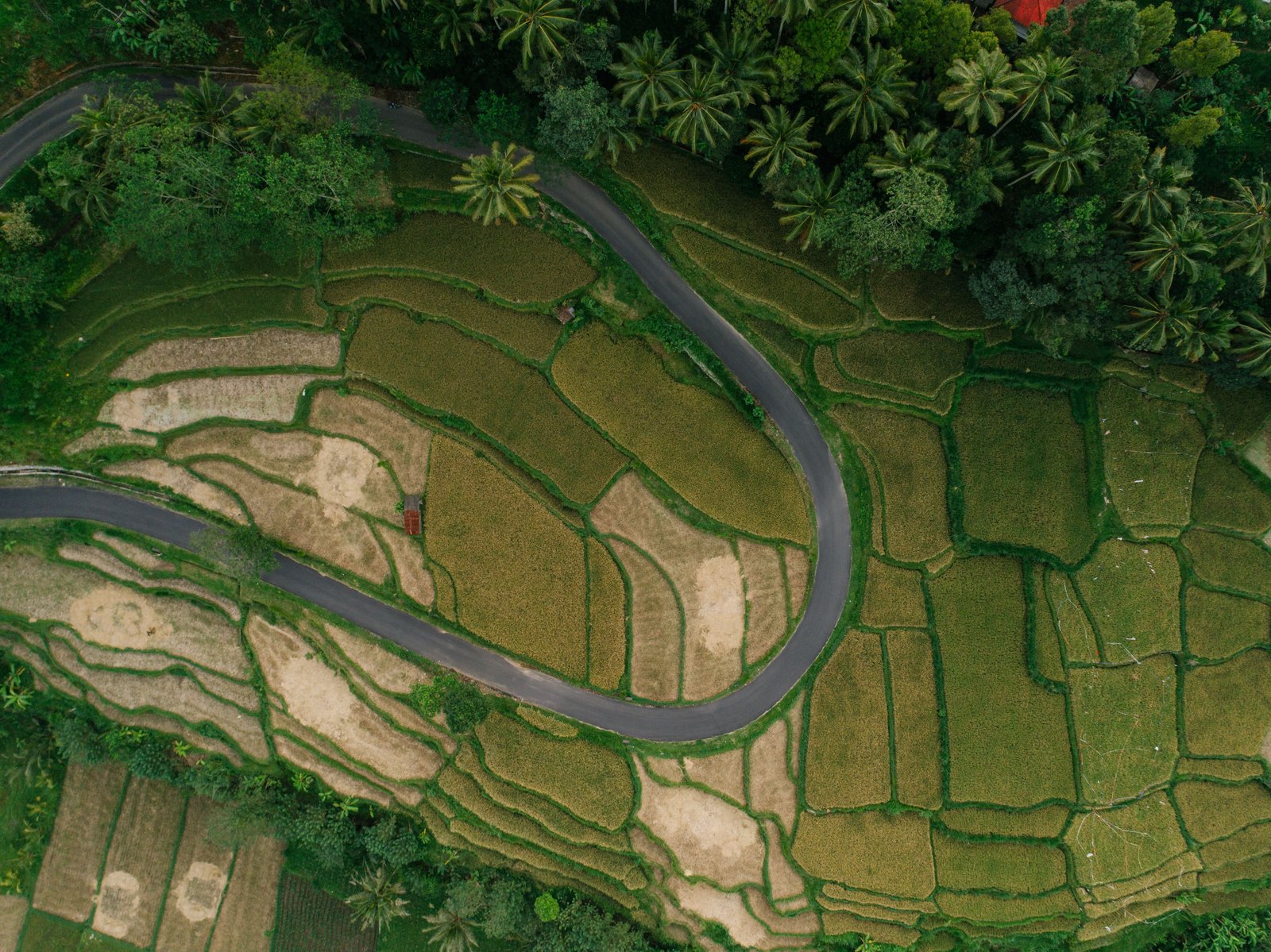
Orthomosaic maps, 3D point cloud, Digital surface models (DSM),
Digital terrain model (DTM), 3D textured mesh, Contour lines
etc. Through processing these images, a photogrammetry software
can then create orthomosaics and 3D models, from which it can
measure accurate distance, as well as surfaces and volumes of
physical objects.
Enquire Now